
Wherobots
Cloud platform for analyzing geospatial data, extracting features from satellite and aerial imagery, and automating spatial workflows.
Community:


Product Overview
What is Wherobots?
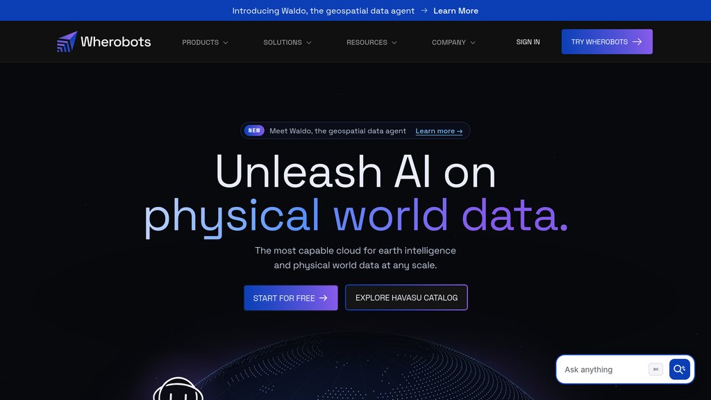
Wherobots is a managed geospatial cloud platform built on Apache Sedona. It brings spatial SQL and Python, satellite and aerial imagery analysis, and ready-to-query datasets into one environment. Teams can work with data in existing catalogs, explore results on maps, and turn analyses into scheduled pipelines.
Key Features
Spatial SQL and Python
Use WherobotsDB to run distributed spatial queries and joins across vector and raster data.
Imagery Analysis
Use RasterFlow to run models on satellite and aerial imagery and extract features such as field boundaries and tree canopy.
Geospatial Data Catalog
Query open datasets from sources such as Overture Maps and Sentinel-2 alongside your own data in the Havasu Catalog.
Geospatial Data Agent
Ask Waldo questions in plain English to find datasets, run spatial analysis, map results, and schedule recurring jobs.
Open Formats and Integrations
Connect to platforms such as Databricks, Snowflake, and AWS, and publish results in formats such as GeoParquet and PMTiles.
Use Cases
- Property Risk Assessment : Overlay building footprints and parcels with flood, wildfire, or hail zones to measure exposure across a property portfolio.
- Solar Site Screening : Combine aerial imagery and building data to identify rooftops worth evaluating for solar installations.
- Agricultural Monitoring : Detect field boundaries and use satellite imagery to track crop conditions across growing regions.
- Telecom Network Planning : Combine network events with geographic data to locate coverage and capacity gaps.
- Mobility and Map Production : Process large GPS datasets to analyze movement patterns and publish map layers for applications.
FAQs
Wherobots Alternatives

Zeitview
Comprehensive inspection platform delivering fast, accurate visual data analysis for renewable energy, utilities, telecom, and property assets worldwide.
Optifye.ai
AI-powered computer vision platform for real-time optimization and monitoring of manual assembly lines, boosting efficiency and transparency.

Focal Systems
Retail automation platform that digitizes store shelves hourly to optimize inventory, labor, and merchandising for improved store performance.

EOS Product X
Comprehensive AI-driven platform providing satellite data analytics, crop monitoring, and geospatial insights for agriculture and various industries.

Photofeeler
Crowd-sourced photo feedback platform providing unbiased, trait-based ratings to optimize professional, dating, and social profile images.

HEROZ
AI technology company delivering advanced AI engines and SaaS solutions to optimize business operations and digital transformation.

Appen
Comprehensive AI data platform delivering high-quality annotated datasets and model evaluation services to accelerate AI development.

Scale AI
Comprehensive AI data platform delivering high-quality labeled data, dataset management, and enterprise-grade generative AI solutions.