
TerraLab
QGIS toolkit for automating spatial analysis, extracting features from aerial imagery, and visualizing proposed site changes.
Community:


Product Overview
What is TerraLab?
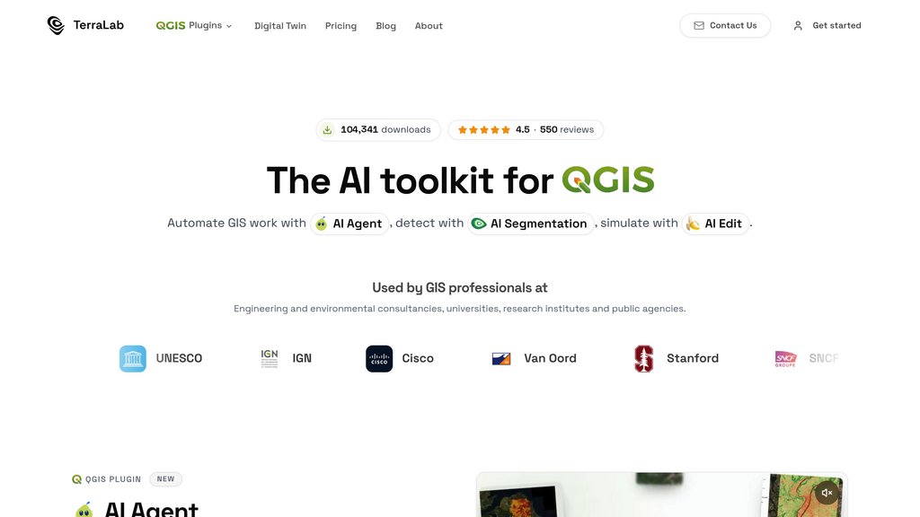
TerraLab brings natural-language GIS automation, image segmentation, and visual editing into QGIS through three plugins: AI Agent, AI Segmentation, and AI Edit. Users can turn questions into mapped analyses, extract vector polygons from aerial imagery, and illustrate proposed changes to a site. Its TerraLab Twin branch also develops custom geospatial detection models and 3D digital twins.
Key Features
Natural-Language GIS Automation
AI Agent loads data, runs spatial analyses, and styles results in QGIS from plain-language requests.
Imagery-to-Vector Extraction
AI Segmentation identifies objects such as buildings and trees in aerial imagery and converts them into vector polygons.
Site Change Visualization
AI Edit adds proposed buildings, roads, or parks to aerial imagery to illustrate how a site could look after development.
Local Segmentation
AI Segmentation offers an on-device mode that keeps imagery on your computer, with unlimited free click-based object outlining.
Custom Geospatial Solutions
TerraLab Twin supports custom detection models, 3D digital twins, plugin development, and enterprise integration.
Use Cases
- Spatial Analysis : Find buildings near roads and complete other location-based analyses without manually assembling each processing step.
- Feature Mapping : Extract building footprints and tree outlines from aerial imagery for GIS inventories and mapping projects.
- Development Concept Visualization : Illustrate proposed construction, road additions, or green spaces on existing site imagery for stakeholder discussions.
- Specialized Geospatial Projects : Develop detection models tailored to proprietary imagery or create 3D digital twins through TerraLab's custom services.
FAQs
TerraLab Alternatives

EOS Product X
Comprehensive AI-driven platform providing satellite data analytics, crop monitoring, and geospatial insights for agriculture and various industries.

Scale AI
Comprehensive AI data platform delivering high-quality labeled data, dataset management, and enterprise-grade generative AI solutions.

SuperAnnotate
Comprehensive data annotation platform for building high-quality training datasets across multiple data types with professional annotation teams.

CVAT
Industry-leading data annotation platform for machine learning, enabling teams to annotate images and videos with multiple annotation types and cloud-based storage.

Pearl
AI-powered dental software delivering real-time radiologic detection and practice performance insights to enhance clinical outcomes and operational efficiency.

Overjet AI
Advanced dental imaging software that enhances diagnosis, patient education, and insurance claim processing with precise analysis of dental X-rays.

Encord
A comprehensive multimodal AI data platform that streamlines data annotation, management, and evaluation across vision, audio, text, and medical data types.

Label Studio
Flexible data labeling platform supporting multiple data types with customizable workflows and machine learning integration.