
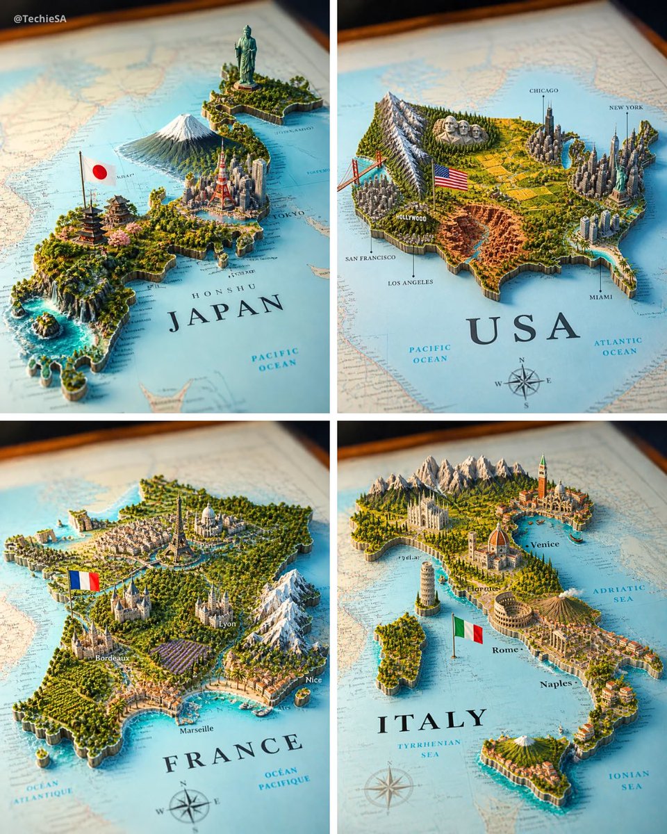
A realistic map of the [COUNTRY] territory lying on a surface, with the country name [COUNTRY] clearly visible in bold elegant serif lettering on it. From the map emerges a highly detailed 3D miniature diorama representing [COUNTRY], with geographically coherent elements: the most famous natural landscape of [COUNTRY] placed in its correct region, the most iconic national monument or statue rising in its real-world location, the largest and most recognizable modern city skyline accurately positioned, a culturally traditional architectural region represented authentically, and a major dramatic geographic feature such as mountains, rainforest, desert, coastline, canyon, waterfall, or reef — all placed in their geographically accurate locations within [COUNTRY]. A small [COUNTRY] national flag on a thin flagpole planted naturally beside the capital city. The flat map surface around the 3D elements includes faintly printed city names, region labels, dotted travel routes, a compass rose in one corner, and subtle topographic contour lines — realistic cartographic details without overcrowding. Each feature grows organically from the paper map, creating a harmonious blend of nature, culture, and architecture. Soft studio lighting, cinematic composition. Square 4:5 format.